TIMEZERO Technology: Unrivalled 2D/3D Chart Engine and Photofusion

TIMEZERO technology brings you a noteworthy comfort of use and an outstanding power to TIMEZERO software. All our software offers you a seamless and continuous chart display thanks to its revolutionary technology. The combination of PhotoFusion with an innovative 2D/3D chart engine makes it possible to simultaneously visualize all the key data on a single screen. The navigation is smooth with no redraw time even when using pan and zoom.

Charts brought to life in no time

Full 3D

Ergonomic & Performant

Photofusion

Worldwide Charts Catalog

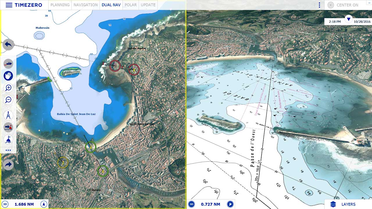
TIMEZERO technology has a revolutionary chart engine that allows for seamless switching from 2D to 3D mode with a simple click. Navigating in 3D will completely change the way you see and view charts.

More speed, precision and effectiveness, make the best marine navigation software ergonomics available. Furthermore, the Workspace concept allows you to keep on screen only the data and tools that better suit your needs either if you’re navigating or planning your boat trip.

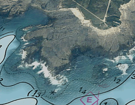
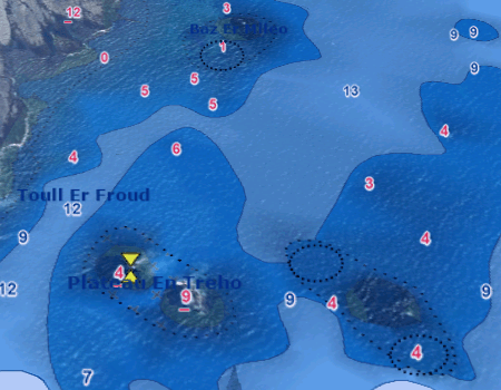
Photo Fusion is a built-in feature in all TIMEZERO products and it allows an amazing instantaneous view of marine chart data by fusing the satellite photo directly to your chart. With Photo Fusion, the outstanding zoom effect will give you the impression of diving right into your charts.

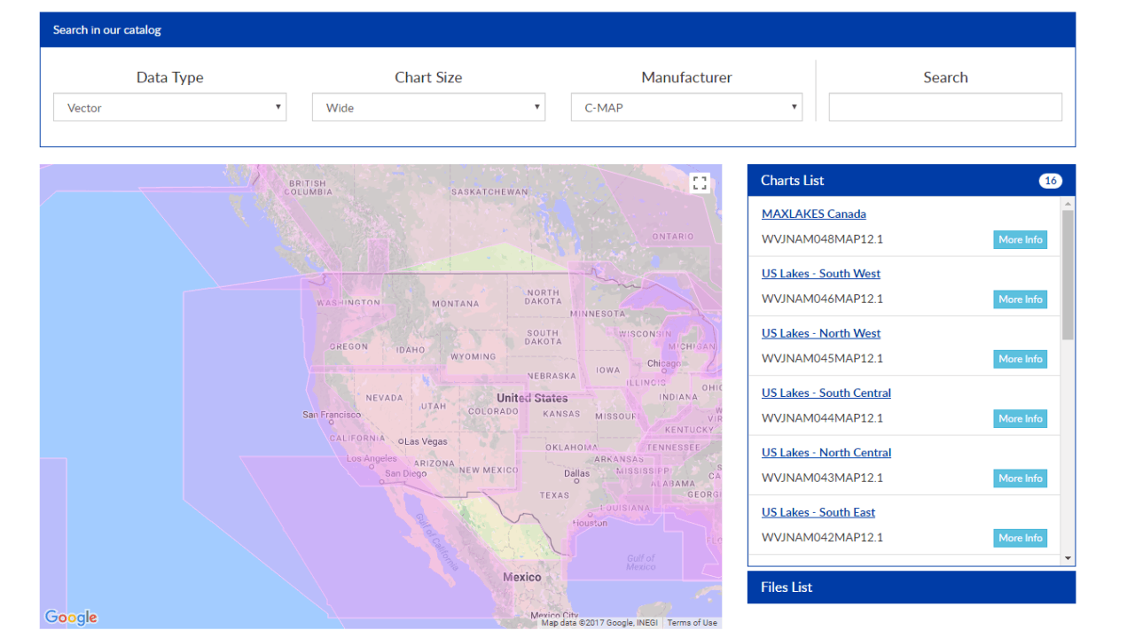
Through TZ Charts, our digital and raster data cartography, TIMEZERO offers more than 6,000 nautical charts from around the world, including vector charts from C-Map. But if you don’t want to limit your navigation area, we offer an attractive option with the World Pack.

What is PhotoFusion?

PhotoFusion is the intelligent fusion of satellite photos and electronic marine charts that allows displaying the most relevant information simultaneously. A unique technology in the market.

You can move around cartography, zoom in and zoom out with the agility and fluidity of the latest videogames, and a very reactive and hyper realistic look and feel. With PhotoFusion, you dive literally into your marine charts thanks to its outstanding zoom effect.

How to use Photofusion?

The PhotoFusion function allows you to overlay data in order to obtain the more realistic field, only displaying the more relevant innovation, always with an amazing execution and display speed.

  • photofusion on land


    In land (over sea level), photos are opaque to better display buildings, ports, landmarks, coasts, rocks…

  • photofusion on sea


    At sea, as depth increases, photos become transparent until only the charts are displayed.

Nautical charts are continuous, movements and zooming are constant and uniform, transitions between charts are transparent and seamless.

Check our large marine charts and complementary data catalogue
Master key marine and coastal data for an optimal navigation