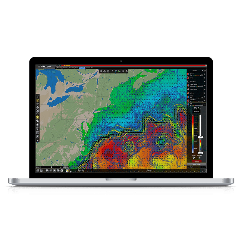
TZ Professional introduces the new Finite Size Lyapunov Exponents (FSLE) data into the Premium Ocean-O service for pelagic fishing. This data is geared towards commercial fishermen and advanced sport fishermen who want to target the best fishing potential spots. It helps detect oceanic fronts where water masses converge or concentrate. These fronts are aggregation zones for plankton and small fish, attracting the predators you’re targeting (tuna, swordfish, mackerel, etc.). Discover all about FSLE on this page.
Spot unexpected fishing areas with FSLE data
Why is it useful for fishing?
High FSLE values often align with concentrations of biogeochemical tracers, such as chlorophyll, plankton, and weed line, which attract predators. But high FSLE values do not necessarily occur where the strongest currents are, because FSLE measures how quickly water particles converge. The result is that you will discover unexpected high-potential fishing spots by integrating this data into your prospecting. That’s the incredible feedback we got from our best Beta Testers.

Fisherman testimony
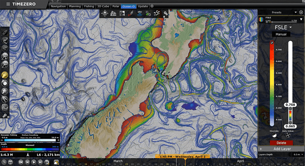
Dan Govier, an enthusiastic and top-level fisherman in New Zealand, shared with us: “I am finding the FSLE very interesting, and I am quickly developing trust in it as an area to predict where the fish were. As per my feedback last week, the big schools of bait fish and pelagic fish were found on the ocean front, in an area where you would not have predicted based on SST alone. This is mind-blowing, and I cannot stop thinking about it and how powerful this new information can be for fishing."
Pelagic Fisheries
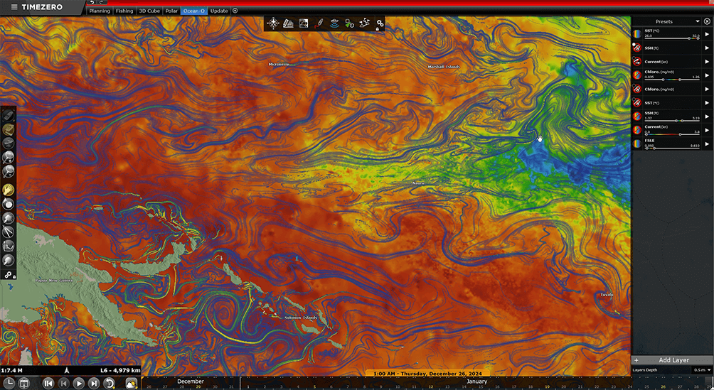
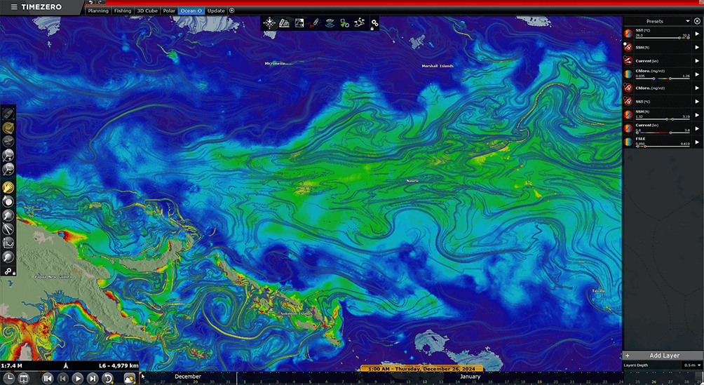
FSLE highlights areas where biogeochemical tracers, such as chlorophyll, plankton, and weed line, might concentrate, making it crucial for identifying productive fishing zones. Thanks to TZ MAPS and the Ocean-O Workspace in TZ Professional, it is easy to display FSLE and combine it with other types of data. You can combine FSLE with other data such as:
Sea Surface Temperature (SST), since FSLE filaments near temperature changes are often highly productive.
Chlorophyll, as FSLE filaments at the edges of plankton-rich zones are key transit points for predators.
Precise bathymetry with TZ MAPS BathyVision, which helps identify areas where FSLE convergence overlaps with bathymetric drop-offs, creating nutrient-rich zones full of marine life. We can observe a strong convergence band aligning with the drop-off of the continental shelf. The best fishing areas are often where FSLE fronts coincide with temperature changes and chlorophyll concentrations or intersect with seafloor variations. FSLE data in TIMEZERO is proving to be a game-changer, offering unprecedented insights into fishing hotspots.
More key applications of FSLE
Pollution Tracking: It helps in understanding the movement of pollutants, such as oil spills or plastic debris, by identifying pathways in ocean currents.
Ecosystem Studies: FSLE maps can reveal regions of strong mixing or retention, which are critical for understanding the distribution of nutrients and marine life.