Purchase your TZ MAPS charts
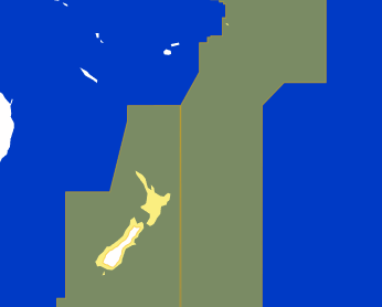
Rest of World - New Zealand
TZ MAPS by MapMedia
- Reference: New Zealand (pc003)
- Description: New-Zealand including Chatham, Kermadec, Auckland, Samoa, Cooks, Tonga islands.
- Data Type: Vector, detailed land information, high-resolution satellite photos, high resolution Bathymetry.
- Manufacturer: MAPMEDIA
Areas displayed are for guidance only and do not reflect exact coverage.
Vector Data
Marine Vector Chart data utilizes a vector database to build the chart display. This data is stored in layers and records every nautical chart feature such as coastlines, buoys, lights, etc. These features and their attributes such as position, color, size, shape, and others are stored in a database allowing them to be selectively displayed and interrogated. In many areas of the globe where there’s no hydrographic service, vector maps are often the only reference.
Land Information
Detailed land information provides better insight into the coastline and surrounding infrastructure.
Satellite Photos
TZ MAPS utilizes satellite photographs in an exciting way, fusing the Satellite Photographs with the Raster or Vector charts to provide, only the data you need for safe navigation, in an intuitive, realistic manner. Standard resolution satellite photographs are Included in each TZ MAPS data pack. High-definition satellite photographs are only available for certain areas. MapMedia continues to work together with data providers to expand and update the satellite photograph catalog.
High-Resolution Bathymetry
TZ MAPS bathymetry is based on the graphic interpretation of chart contour lines. This 3D representation is very useful when entering a port or an anchorage, providing another navigation tool to keep you aware of submerged dangers.
Depth Contour Lines
The best bottom data is available and the new BathyVision feature allows you to display it dynamically and intuitively in color and/or with contour lines. It is possible to configure the density of contour lines and associated shading to focus very precisely on high-potential fishing areas.
Altimetry
TZ MAPS utilizes altimetry to realistically represent the shoreline. The advantages are numerous such as the instantaneous identification of port entries or the identification of specific shoreline features. The use of altimetry also allows you to navigate in a realistic perspective view in relation to the horizon.
Compatible products for this item are:
- TimeZero Navigator v5
- TimeZero Professional v5
- Furuno NavNet TZtouch4