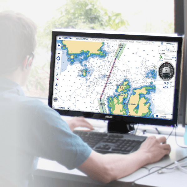
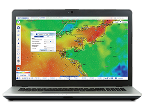
TZ Navigator
The cutting edge software for recreational navigation
Access to your personal interface My TIMEZERO to enjoy all your online services including free weather forecast, TZ Cloud ecosystem and synchronization, TZ iBoat iOS app and be part of the TZ Community!
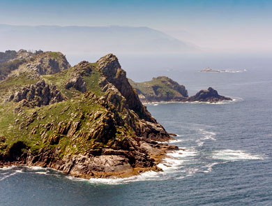
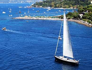
Navigate the seas with the most complete marine charts for coastal boating, sailing, and fishing with or without internet.
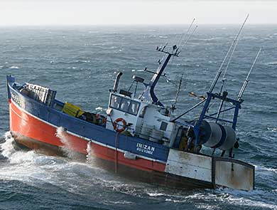
GPS, anchoring, radar, AIS, tides, & tidal currents... This next-generation chart plotter is essential for sailors, boaters, and fishermen of all levels!
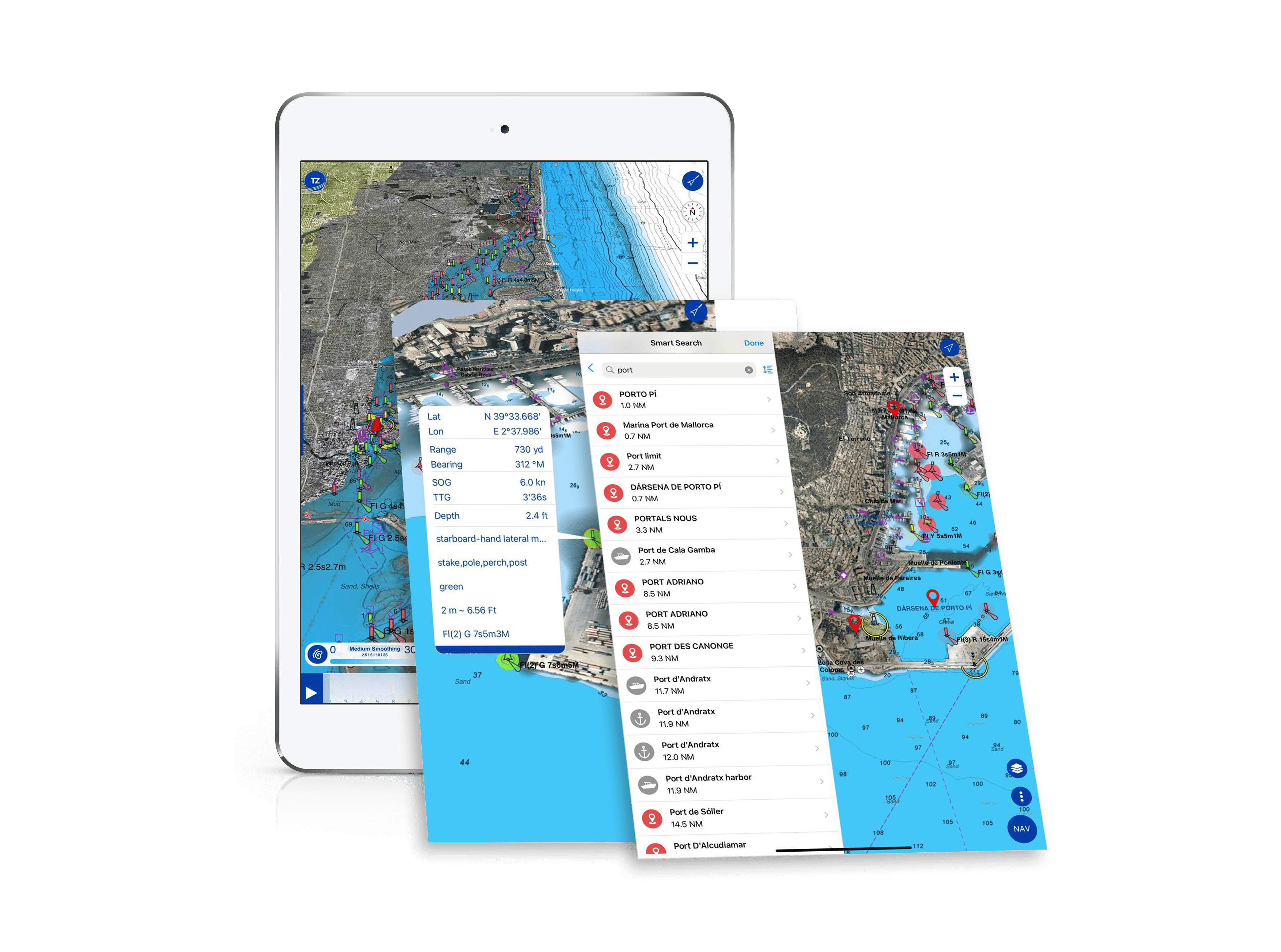
TZ iBoat is the most advanced boat navigation app on the market and possesses all the essential features for safe maritime navigation.
Experience the revolutionary TZ MAPS: a cutting-edge marine chart format that integrates Raster and Vector data, detailed land information, high-resolution satellite photos, and high-resolution Bathymetry. Unlock the full potential of TZ MAPS with a free 7-day trial.
Thanks to a close relationship we maintain with our international partners, we are able to offer tailor-made training sessions. Whether you are a professional or a recreational boater, we put at your disposal our knowledge and know-how to help you optimize your navigation.
At our authorized partners’ centers, our offices or remotely, the TIMEZERO team members are here to answer your questions and help you to configure your software and instruments. From basic functionalities to the integration of navigation tools, our TIMEZERO technicians are here to help you.
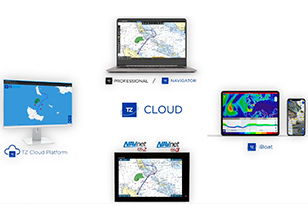
Discover the new TIMEZERO – FURUNO ecosystem! It allows for real-time synchronization between TZ PC software, FURUNO NavNet TZtouch2 and 3 MFD, TIMEZERO online platform and now TZ iBoat app for iPad and iPhone!
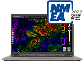
For the sixth consecutive year, Nobeltec has been awarded « Best Marine Navigation Software » thanks to TZ Professional at the NMEA 2022 Awards.
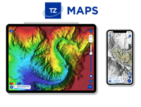
A revolutionary development in the world of maritime cartography, unlike anything seen before! TZ MAPS combines several data types: Raster, Vector, detailed land information, high-resolution satellite photos, and high-resolution Bathymetry, in addition to new advanced features!
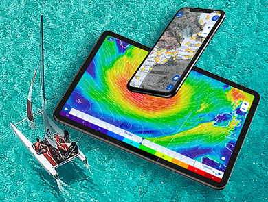
New Weather Routing Module
New Weather Model
Iridium Go! Compatibility
Software
Modules
Chart